'Che Tei' in Yim Tin Tsai: Past and Present
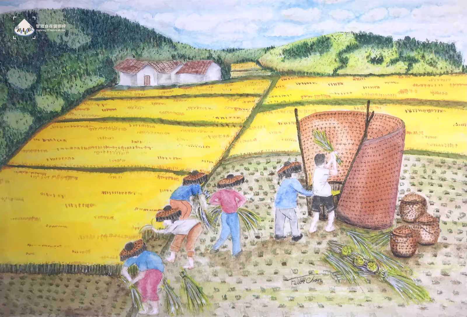
In the past, villagers not only farmed on the paddy fields in Yim Tin Tsai, but also at areas known as ‘Che Tei’ (Chinese: 輋地 ce4 dei6). What is that? A villager once explained:
‘The areas in which we grew vegetables were called “che” in our dialect. We had good harvests and couldn't eat all of them ourselves. Sometimes our neighbours would come over and pick our vegetables – and only let us know afterwards that they have taken some. Looking back, it was quite interesting!’ (Full story available: https://www.yttstorytelling.org/en/storymap#26)
Apart from sharing within the village, villagers also sold their produce in Sai Kung town:
‘Many people from Sai Kung would buy fish and come to our village, because their fields were too sandy to grow vegetables like sweet potatoes and radishes, so we sold them. Vegetables tasted way better in the past, since we used natural fertilizers.’ (Full story available: https://www.yttstorytelling.org/en/storymap#2)
The vegetables grown in Che Tei were different from those in paddy fields, as they didn’t require flooding with water, hence they were also called ‘dry field’. These dry fields were in the back hills, covering an area of approximately 400,000 square feet [1]. By comparing aerial photos from different periods [2], we can observe the changes in the landscape. As villagers gradually moved away, farming activities declined, and the vegetations starts covering the ‘Che Tei’.
Reference
[1]〈鹽田仔原居民自述與回憶:陳忠賢村長〉[Narratives and Memories of Original Yim Tin Tsai Villagers: Village Chief Chan Chung-yin]. In L, Ha (Ed.) (2010), God Visited to Yim Tin Tsai: the Centennial History of Yim Tin Tsai in Sai Kung, Hong Kong (pp. 83–85). Hong Kong: Centre for Catholic Studies, the Chinese University of Hong Kong.
[2] Lands Department, Hong Kong SAR. Hong Kong Map Service 2.0. Retrieved December 3, 2024, from https://www.hkmapservice.gov.hk/OneStopSystem/map-search